The issues
Our professions meet your challenges:
- Identify areas at risk and map the soil
- Ensure the stability of infrastructures
- Ensure the viability of projects over time
- Identify soil and subsoil characteristics
- Prevent environmental phenomena and related risks
- Ensure legal and regulatory compliance
- Determine the geological and environmental conditions of groundwater
- To monitor the quantity and quality of groundwater resources and control their impact during the construction and operation phases of mining and civil engineering infrastructures
AGTS solutions
AGTS offers a wide range of activities, listed opposite, which can be one-off or ongoing during the construction, operation or maintenance/servicing phase:
Auscultation of structures and components of structures
- Auscultation using transparency and impedance methods: Tests on buried piles and walls
- Tests on anchors and supports (pull-out tests)
- Auscultation of concrete structures (coring, radar, ultrasound, ferroscan)
- Inspection of metal structures
- Optical (camera) and acoustic inspection of structural elements
Measurements
Topography
- Topographic survey using conventional methods (GPS and ST)
- Topographic survey by drone
- (photogrammetry and lasergrammetry)
- Bathymetric survey
- Cartography and GIS
- Project design (roads, external works, etc.)
- Project control/monitoring
Geophysics
- Groundwater detection (electromagnetic, electrical)
- Network detection (Geo radar, Vscan)
- Quarry and cavity detection (tomography, etc.)
- Grounding (electrical resistivity)
- Seismic characterisation (Downhole, MASW)
- Bedrock characterisation (seismic)
Instrumentation
- Installation of geotechnical sensors: tassometer, inclinometer, pressuremeter cell, interstitial pressure, etc.
- Installation of sensors on structures: stress, temperature, positioning (X,Y,Z), acoustic and ventilation sensors, fissurometers, etc.
Hydrogeology
- Storm water drainage
- Wastewater treatment
- Hydro-agricultural developments
| A look back at our customer experience |
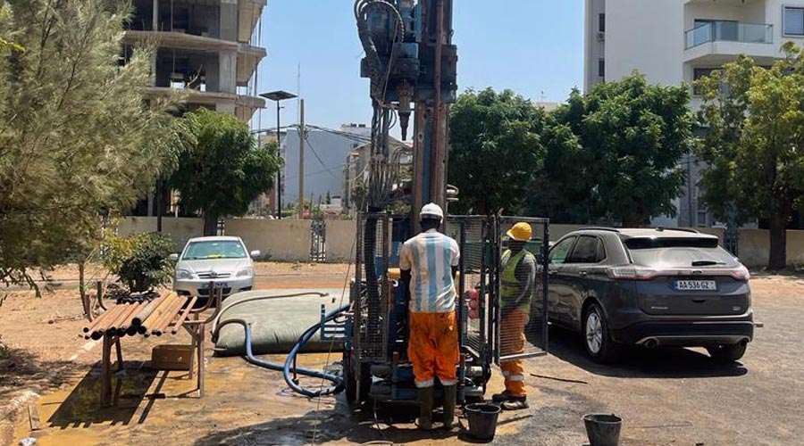
The Youth Olympic Games in Dakar, Senegal

AGTS expertise
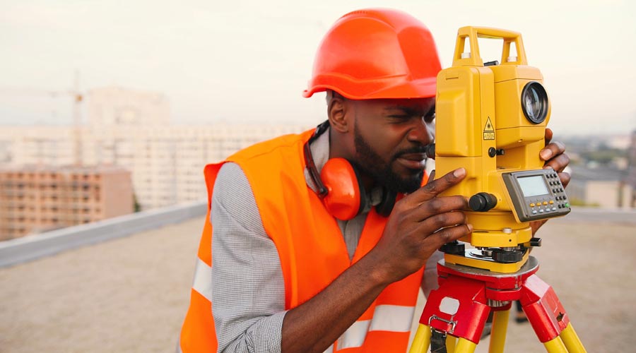

AGTS is the partner of companies and local authorities in the field of Auscultation, Measurement and Instrumentation. Our expertise enables us to support these entities in compliance with current regulations.
With AGTS, you can rely on a unique network of experts specialising in on-site tests and measurements, as well as a mastery of tools for assessing the risks of soil and subsoil.
With a wealth and variety of experience, our experts are able to support you at every stage of your compliance process, and keep abreast of regulatory developments and current procedures. Our approach is tailored to the specific characteristics of your business and the needs of your team. AGTS enjoys a good reputation and the trust of national and international organisations. The company can therefore boast a number of excellent references.
In the AMI field, AGTS has the latest generation of equipment with the latest investments:
- A WGMD-9 2D/3D Imaging device for electrical tomography
- A DJI Matrice 300 RK drone for photogrammetry, lidar and inspection of structures
- A CADDEN dual-frequency single-beam echo sounder for bathymetry
- Q CHAMP sonic monitoring equipment from PDI
- I50 and I70 differential GPS
This new equipment will strengthen our existing fleet and enable us to better meet our customers' requirements in the field of AMI.
A local proximity

Your questions
-
What is the AMI?
AMI stands for auscultation, measurement and instrumentation, and covers auscultation, geophysics, topography, bathymetry and instrumentation. -
Who is the AMI for?
Public and private companies in the building and public works, agriculture and industry sectors, as well as private individuals. -
What resources are used?
The methods used are geophysical (electrical, electromagnetic, seismic, etc.), non-destructive (sonic, impedance, etc.), destructive (coring) and topographical and bathymetric (total station, GPS, drone, echo sounder, etc.).
Why choose
AGTS ?

REACTIVITY

INNOVATION


